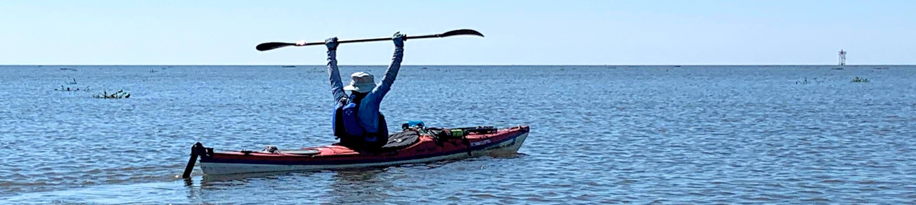
Mississippi River Source 2 Sea Resources
Our Source to Davenport, IA first part of our journey to the sea. The trip summary is our story in photos and maps.
Float Plan
Current float plan with actual miles and destinations.
Source to Sea Packing List
Packing list was based on July and August paddle from Lake Itasca, MN to Davenport, IA
Mississippi River State Water Trail
The Mississippi River is the fourth longest river in the world, flowing 2,350 miles from Lake Itasca in Minnesota to the Gulf of Mexico. In Minnesota, the river flows through valleys, bluffs, prairies, and woodlands in a variety of flow rates and widths. Portions of the river have been designated as a Wild and Scenic river. There are ten mapped segments of the Mississippi River in Minnesota, beginning at the source and ending on the Minnesota/Iowa border.
Mississippi River Guide
Boating the Mississippi River from Hastings MN to the Iowa Border
Army Corp of Engineers - Upper Mississippi River
Navigation charts for the Mississippi River from Minneapolis, MN to Cairo, IL
Upper Mississippi Portages
There are twelve portages on the river from the source at Lake Itasca to the first lock and dam in Minneapolis. They range in distance from 50 yards to 1.5 miles.
Alternate Routes to the Gulf of Mexico
The Atchafalaya (or in Cajun Chafliya) was our preferred route to the Gulf. If you are not wild about sharing the river with hundreds of ocean going ships the last 150 miles, then this route is for you. The Atchafalaya has been been trying to capture and reroute the Mississippi for over 100 years. In fact, 1/3 of the Mississippi's water is diverted to the Atchafalaya, an Army Corp compromise to keep the ports of Baton Rouge and New Orleans in business. So, it is a legit option for Source to Sea paddlers. Remember, your trip, your rules!
You can paddle the Atchafalaya all the way to the Gulf of Mexico, so why take the Yellow Bayou detour? The Atchafalaya will take you through Morgan City, then on to the final 30 miles to the Gulf. The downside is, you need to get back to Morgan City for your final pick-up. That means either paddling 30 miles back up river, or finding a fishing boat to bring you back. All possible, but much more complicated. You finish up Yellow Bayou at Burns Point Park, an easy pick-up point and less that two hours away from New Orleans, LA.
No comments:
Post a Comment